VR Production
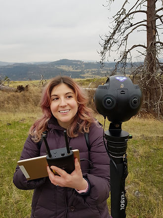
Immerse your audience in breathtaking 360° and 180° experiences with our high-end VR production services. With a decade of experience in 360 filmmaking, we are among a select few who have both the expertise and deep passion for this medium. Since 2015, we’ve worked with nearly every 360 and 180 camera ever released, constantly refining our craft to push the boundaries of immersive storytelling.

Beyond cameras, we bring a full suite of professional gear, including high-quality audio equipment and powerful lighting, to ensure every scene is expertly captured. With our technical expertise and deep understanding of immersive media, we deliver high-quality VR content that meets the highest production standards and fully engages your audience.
You can view our work here.
All of our 360° media can also be adapted for traditional formats, including social media and standard platforms like YouTube. This ensures your content remains versatile and impactful across all viewing experiences. Check out this project that features both.

We own a range of professional 360° monoscopic and stereoscopic cameras, ensuring the highest quality visuals for any project. Our fully licensed drone pilot captures stunning aerial 360° footage, while our advanced-certified scuba divers film immersive underwater VR content.
